Tree survey gaps for rear garden extensions
Found your tree survey misses the rear garden? Learn what a rear extension needs, how to check your report, and how to fix the gap fast.
Why the original tree survey often stops short of the rear garden
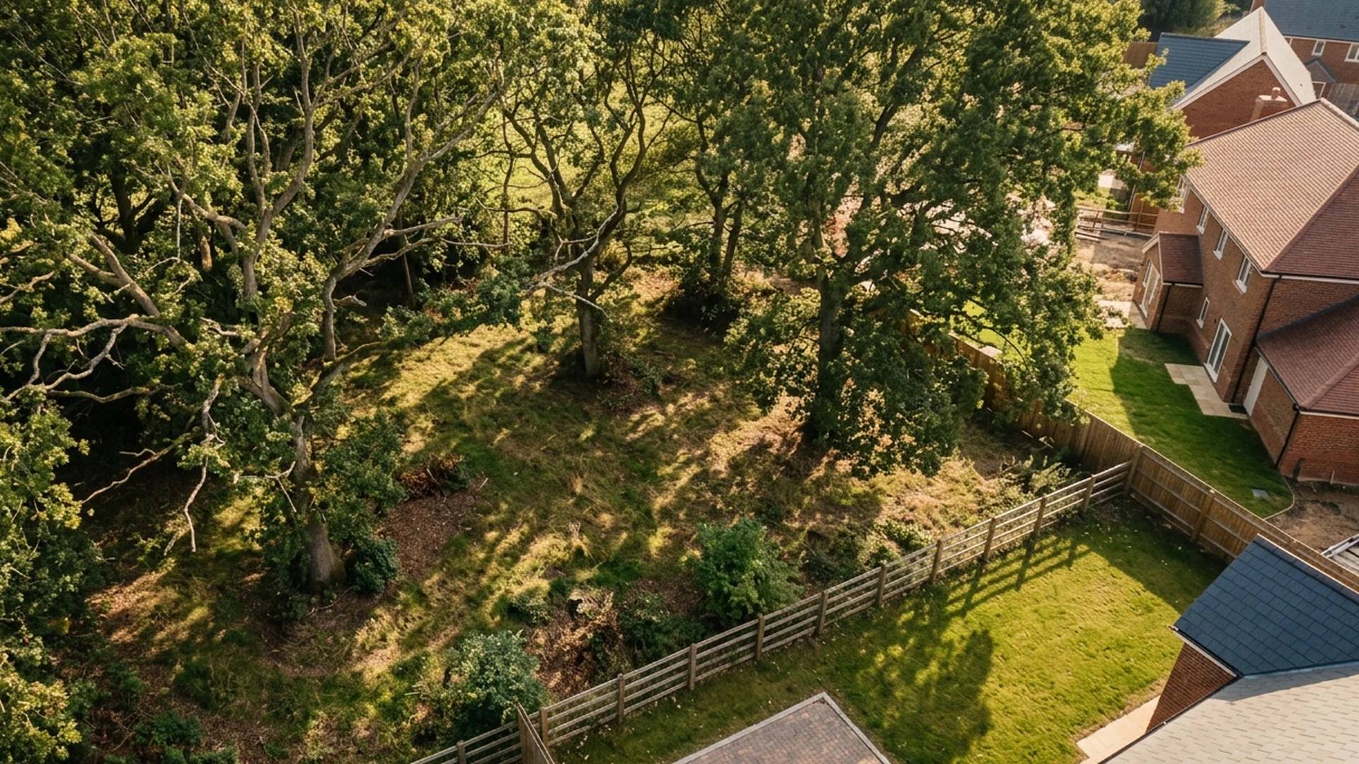
Most tree surveys are scoped for a specific purpose, and that purpose rarely includes the rear garden. A front-of-house inspection for subsidence risk, for example, focuses on trees within influencing distance of the main structure. A single-plot planning application for a loft conversion or a front extension does the same. Mortgage lenders want reassurance about structural stability, not a full inventory of your garden. So the surveyor walks the front boundary, plots the relevant trees, and stops. The rear garden, with its mature oaks and overgrown boundary hedges, never gets measured. It is not an oversight. It is the result of an instruction that was narrow from the start.
The moment the gap surfaces: when the extension design needs tree data
The architect draws the rear extension. The planning consultant reviews the drawings and asks for a tree survey to accompany the application. You pull out the existing report, flick through the plans, and find the red line stops at the back of the house. There is no data for the garden where the extension will actually sit. This is the moment the gap surfaces, and it always surfaces at the worst possible time, just before submission. The consultant cannot validate the application without the tree information. The architect cannot finalise the foundation design without knowing where the root protection areas are. Everyone looks at you, and the clock is running.
What a rear garden extension actually requires from a tree survey
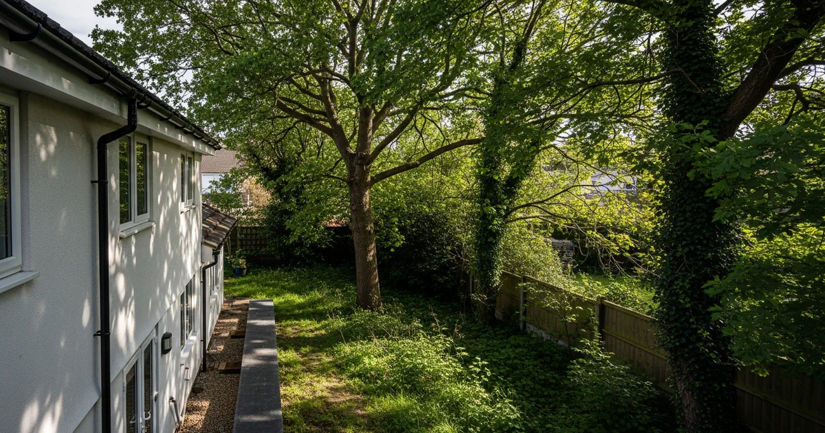
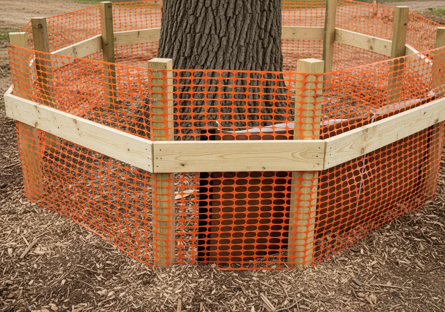
A rear extension triggers a different set of constraints than a front-of-house inspection. The survey needs to record tree positions, canopy spread, stem diameter, and root protection areas for every tree within influencing distance of the proposed footprint. That distance is not just the garden boundary. It includes trees on neighbouring land whose roots may extend under your site. The survey also needs to assess shade and seasonal light, because a two-storey rear extension can block sunlight to a garden that a single-storey design would not. These constraints directly affect foundation design, dig distances, and construction access. A shallow strip foundation may be impossible within an RPA. A piled foundation may be required instead. The survey tells you which before you pour concrete, not after.
Root protection area
The real cost of an incomplete scope: delays, redesigns, and resubmissions
The knock-on effects are not abstract. A planning application can be refused for insufficient tree information, or held in validation for weeks while you commission a supplementary survey. The architect may need to redesign the footings, moving the extension or changing the foundation type entirely. That redesign costs time and money, and it often happens after the client has already approved the original drawings. Additional survey fees stack on top of the original instruction. The project timeline stretches. The client gets frustrated, and the relationship between consultant and client takes a hit. A survey that should have cost a few hundred pounds at the start can end up costing thousands in delays and redesigns.

How to check whether your existing tree survey covers the rear garden
Before you panic, review the report you already have. Start with the site plan extent. Does it show the full red line boundary, or does it cut off at the rear elevation? Check the tree numbers. If the report lists trees T1 to T5 and they are all in the front garden, the rear is likely missing. Look at the categories. A BS5837 survey categorises trees A, B, C, and U. If all your trees are category C or U, they may have been deemed low value and excluded. Finally, check whether the RPAs extend beyond the original red line. If a tree on neighbouring land has an RPA that crosses into your garden, the survey should have noted it. If it did not, the scope was too narrow.
Commissioning a supplementary rear garden tree survey: process and timescales
If the gap is real, the fix is straightforward. Instruct a surveyor to revisit the site and collect the missing data. This is not a full re-survey. The surveyor will collate the rear garden trees, measure stem diameters, plot canopy spreads, and calculate RPAs. They will then update the existing drawings and amend the arboricultural impact assessment to reflect the new information. The key is to integrate this with the original report rather than starting from scratch. A good surveyor will reference the original tree numbers and avoid duplicating work. The process typically takes five to ten working days, depending on site access and the number of trees involved. If you are close to submission, tell the surveyor. They can prioritise the site visit and the report.
Keeping the extension project on track: coordinating surveyor, architect, and planner from day one
The simplest way to avoid this problem is to instruct a single tree survey covering the full development footprint from the outset. That means the rear garden, the side access, and any neighbouring trees within influencing distance. Share the scope with the whole team, the architect, the planner, and the structural engineer, so everyone knows what data is coming. Treat the survey as a design tool rather than a last-minute compliance box. If the survey is done early, the architect can design around the constraints instead of discovering them after the drawings are complete. The planner gets a complete application the first time. The client gets a realistic timeline and a build that does not stall. It costs a little more upfront, but it saves the scramble, the redesign, and the resubmission every single time.
Check your existing report
Review the site plan extent, tree numbers, and categories. Confirm whether any tree within influencing distance of the rear garden is missing.Instruct a supplementary survey
Contact a surveyor, explain the gap, and ask for a site revisit to collect the missing rear garden data.Integrate and update
Ensure the surveyor updates the existing drawings and impact assessment, referencing original tree numbers to avoid duplication.Share with the team
Send the updated survey to the architect, planner, and structural engineer before finalising the design or submission.
Frequently asked questions
Find out what's on your site before it becomes a problem.
Subito provides BS5837 tree surveys and arboricultural impact assessments for planning applications across England. If your site has old trees, we will identify them, assess them, and give you the information you need to design around them with confidence.