Tree Survey Timing and Your Planning Application
Commissioning tree surveys after design is fixed causes costly redesigns. Learn the correct sequence for tree survey timing on a planning application.
Why Survey Timing Is a Planning Problem, Not Just a Technical One
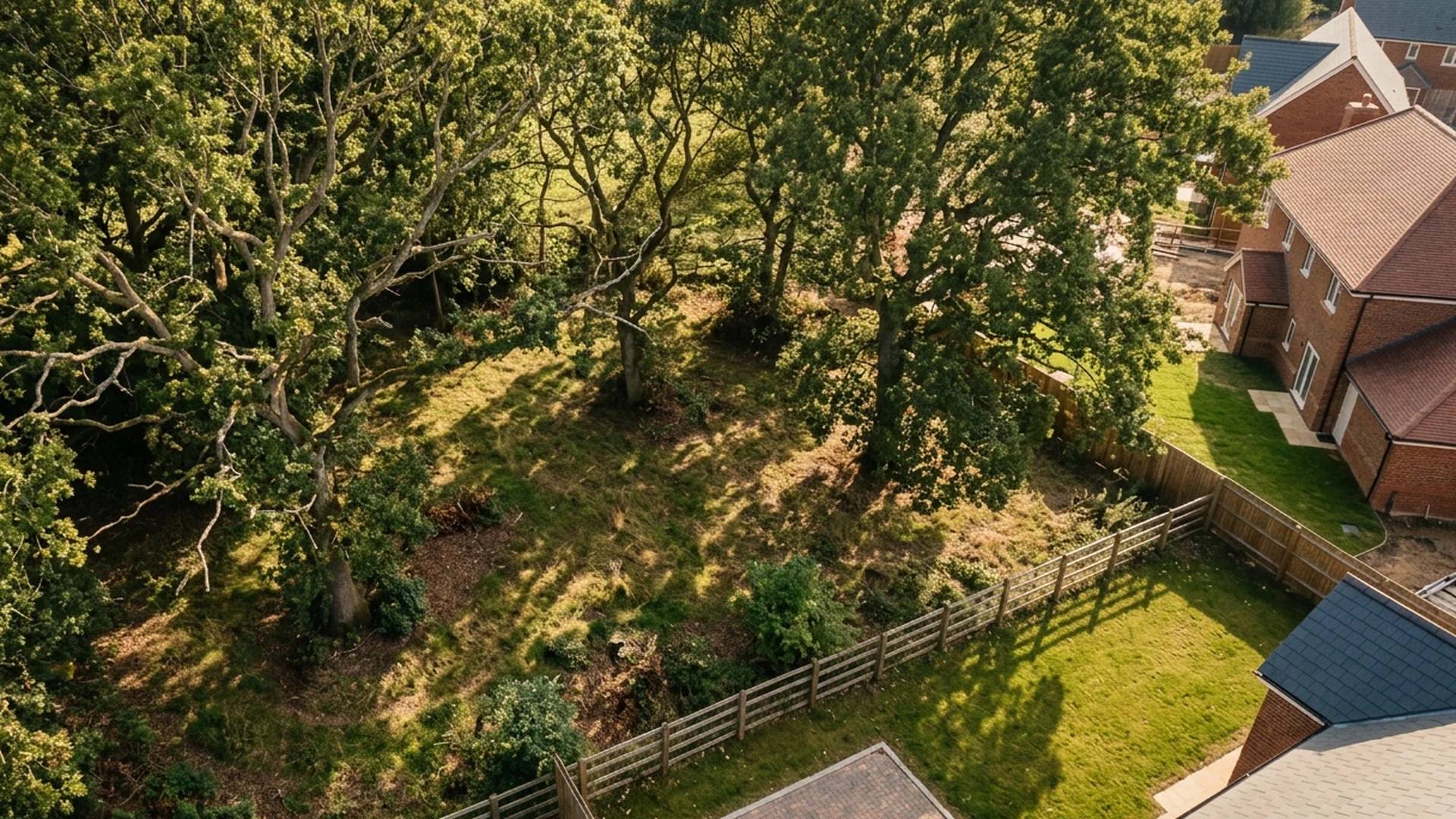
Most delays and redesigns on tree-related planning applications do not happen because the surveys were wrong. They happen because the surveys were commissioned too late. By the time an arboricultural impact assessment lands on a planning officer’s desk, the layout has already been fixed, the drainage strategy has been drawn up, and the architect has moved on to another project. If the survey reveals constraints that conflict with the design, someone has to go back and unpick work that has already been paid for.
This is not a rare edge case. It is the default pattern on a significant proportion of sites that include trees. Developers and their consultants treat tree surveys as a box to tick before submission rather than as a source of information that should shape the design from the start. The result is a planning calendar that runs in the wrong order.
Understanding why this happens, and what the correct sequence looks like, is straightforward. The problem is almost always one of timing.
What Surveys Are Actually Required and When They Become Relevant
The core document for most planning applications involving trees is the arboricultural impact assessment. This sets out which trees are present on or adjacent to the site, what condition and category they are, how the proposed development affects them, and what mitigation is required. It is produced in accordance with BS 5837:2012 and is a standard validation requirement on any application where trees are a material consideration.
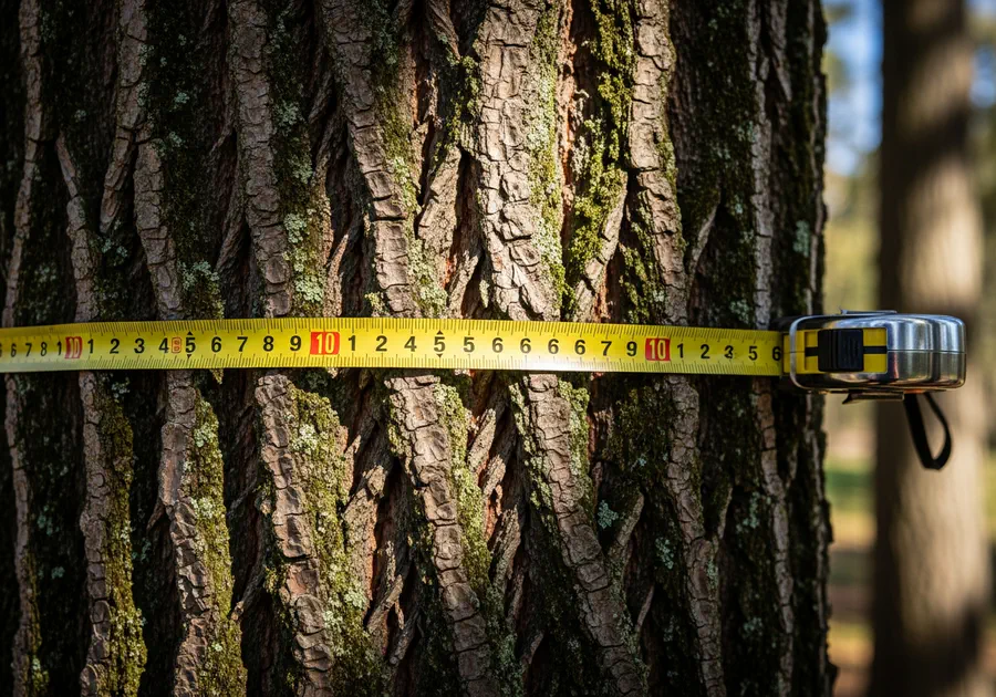
Before the arboricultural impact assessment can be written, a tree survey must be completed. The survey records the position, species, height, crown spread, stem diameter, and condition of every relevant tree. It also establishes the root protection area for each tree, which is the zone around the base of the tree that must be protected during construction.
Root Protection Area Scale
The survey data feeds directly into the design. If you do not have it before the layout is drawn, you are designing blind.
The Seasonal Constraint That Most Applicants Underestimate
Tree surveys can be carried out at any time of year for the basic measured data. Stem positions, dimensions, and root protection areas do not change with the seasons. However, the full assessment of a tree’s condition and the identification of all trees on a site, including self-seeded and boundary specimens, is significantly more reliable when carried out during the growing season.
More importantly, bat roost assessments and other ecological surveys that are frequently required alongside arboricultural work are strictly seasonal. Bat activity surveys must be carried out between April and October, with the core survey window running from May to August. A single survey visit is rarely sufficient. Guidance from the Bat Conservation Trust typically requires multiple visits across the season to confirm presence or absence and to characterise roost type.

That is a six-month delay built into the programme before a single planning condition has been discussed. The same logic applies to breeding bird surveys, great crested newt assessments, and other ecological work that intersects with tree removal or works within root protection areas. Each has its own survey window, and missing one means waiting for the next.
How Post-Design Commissioning Creates Redesigns
Here is the sequence that causes problems. A developer acquires a site, appoints an architect, and produces a draft layout. The layout is refined through several iterations based on the client’s brief, the planning policy context, and the commercial requirements of the scheme. At some point, usually when the application is being assembled, someone notices that a tree survey is needed. The survey is commissioned. The results come back.
At that point, one of several things happens. The survey reveals that a tree the layout assumed could be removed is actually a category A specimen, the highest quality category under BS 5837, and the local planning authority is unlikely to support its removal. Or the root protection areas of retained trees overlap with the proposed access road, the drainage attenuation tank, or the footprint of a building. Or a tree that appeared dead from the boundary turns out to be alive and in reasonable condition.
None of these outcomes are unusual. They are the normal results of a proper survey on a site with mature trees. But when the design is already fixed, each one requires a redesign. The access road moves. The building footprint shrinks or shifts. The drainage strategy is rerouted. Each change has a cost, and each change may trigger further changes elsewhere in the design.
If the survey had been commissioned before the layout was drawn, the same constraints would have been identified at a point when accommodating them cost nothing. The designer would simply have worked around them from the start.
The Correct Sequence for Tree Survey Timing on a Planning Application
The right order is straightforward. Commission the tree survey before the design starts, not before the application is submitted.
Preliminary arboricultural assessment
Commission a walkover survey before any layouts are produced. This identifies the trees on and adjacent to the site, gives an initial indication of their likely BS 5837 category, and flags obvious constraints. It does not require full measured data, but it gives the design team enough information to understand what they are working with.Informed initial layout
The design team produces a draft layout that respects the likely root protection areas and avoids the trees most likely to be retained. This is also the point at which ecological survey requirements should be scoped and programmed, so that bat roost assessments and other seasonal surveys are built into the programme from the start.Full BS 5837 tree survey
With an initial layout in place, the full measured survey is carried out. This produces the precise data needed for the arboricultural impact assessment, including accurate root protection areas plotted against the proposed layout.Arboricultural impact assessment
The assessment is written in response to the actual proposed layout, not to justify a layout produced without reference to the trees. Because it has been produced in the correct sequence, it is coherent. The retained trees are genuinely retained, the root protection areas are genuinely protected, and the mitigation measures are proportionate and deliverable.
This sequence is not complicated. It requires only that the survey be treated as a design input rather than a submission requirement. The preliminary arboricultural assessment is the trigger for everything else, and it should be one of the first instructions placed when a site is acquired.
What This Means for Programme and Fee Planning
Building the correct survey sequence into the programme has two effects. It adds time at the front end and removes time from the back end.
The front end addition is real but manageable. A preliminary arboricultural assessment typically takes one to two weeks from instruction to report. The full BS 5837 survey takes a similar period. If ecological surveys are required, the programme needs to account for the survey window, which may mean starting the process several months before the target submission date. On a site with potential bat roosts, a programme that does not begin ecological scoping by February is at risk of missing the summer survey window and losing six months.
The back end saving is also real. Applications that go in with complete, coherent arboricultural and ecological information are validated more quickly, attract fewer requests for further information, and are less likely to be refused on tree or ecology grounds. Redesigns after submission, or after refusal, cost significantly more than getting the sequence right at the start.
For fee planning, the cost of a preliminary arboricultural assessment is modest relative to the cost of a single round of design revisions. Treating it as an optional preliminary rather than a standard first step is a false economy that shows up later in the programme as delay and in the budget as abortive work.
If you are assembling a planning programme for a site with trees, the question to ask is not when the tree survey needs to be submitted. The question is when the design team needs the survey data to start work. That date, not the submission date, is when the survey should be commissioned.
Frequently asked questions
Find out what's on your site before it becomes a problem.
Subito provides BS5837 tree surveys and arboricultural impact assessments for planning applications across England. If your site has old trees, we will identify them, assess them, and give you the information you need to design around them with confidence.