What Is a BS5837 Tree Survey and When Do You Need One?
A BS5837 tree survey records trees on or near a development site and informs layout and planning. Here is what it covers and when planners require one.
What Is a BS5837 Tree Survey?
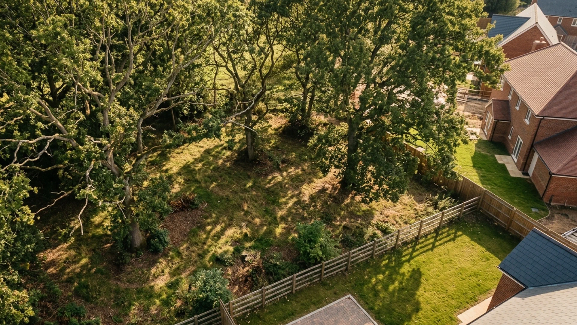
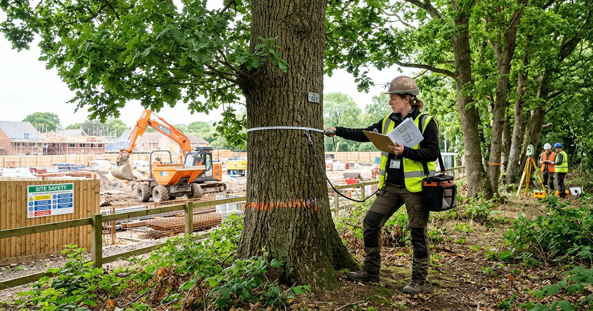
A BS5837 tree survey is an arboricultural assessment carried out to British Standard BS5837:2012. It records the existing trees, hedges and shrubs on or near a development site. The point is not to catalogue trees for its own sake. The survey exists to inform design, demonstrate tree constraints and support a planning application.
That distinction matters. A survey that simply lists trees without showing how they constrain a scheme is of limited use to a planner. The output should give designers and case officers something they can act on.
How Trees Are Recorded and Categorised
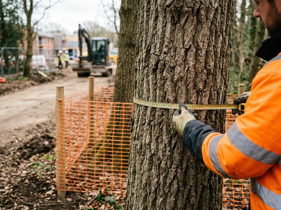
Each tree is recorded with species, dimensions (stem diameter, height, crown spread), condition, life stage and whether it is to be retained or removed. Trees are then placed into BS5837 categories: A (high quality), B (moderate), C (low) and U (unsuitable for retention, usually because of poor condition or structural defect).
BS5837 categories
Root Protection Areas and Constraints
Root protection areas (RPAs) are calculated from stem diameter and mapped around retained trees. These areas shape layout, access, drainage and construction methods. A mature oak with a 900mm stem, for example, carries an RPA radius of around 10.8 metres, which can remove a significant chunk of a plot from development. The survey shows where those constraints fall so the design can respond to them.
What Does a BS5837 Tree Survey Include?
The survey is usually the first stage in a wider arboricultural reporting process. Typical outputs include a Tree Constraints Plan and a supporting schedule.
Tree Constraints Plan and Survey Schedule
The plan identifies tree positions, categories, root protection areas and shade or constraint areas. The schedule provides the baseline evidence planners and designers need to assess tree impacts. Together they form the record against which the scheme is judged.
Arboricultural Impact Assessment and Method Statement
An Arboricultural Impact Assessment evaluates the proposed design against the tree constraints. A method statement then sets out protection measures. These are often required after the initial BS5837 survey, depending on the application.
When Do You Need a BS5837 Tree Survey for Planning?
A BS5837 tree survey is normally needed when a planning application could affect existing trees on or near the site. Local planning authorities often require it as validation evidence where trees are a material consideration.
Sites With Existing Trees, Hedges or Woodland
Common triggers include development on gardens, brownfield land, farmland, school sites and urban infill plots where trees, hedges or a woodland edge may be affected. Trees outside the red line boundary can matter too if their root protection areas or canopy spread into the site.
Conservation Areas, Tree Preservation Orders and Protected Trees
Applications in conservation areas or affecting protected trees usually require particularly careful arboricultural evidence. A BS5837 survey helps identify constraints and supports any required justification for works or removal.
Demolition, Construction and Access Near Trees
Surveys are needed where demolition, new access, services, foundations, level changes or site compounds could impact trees. Secure the survey early enough to influence layout rather than justify a scheme after design is fixed.

How a BS5837 Tree Survey Fits Into the Planning Process
The sequence runs from initial site appraisal and survey through design iteration to planning submission and condition discharge. The survey is most useful before layout decisions are finalised.
Pre-Application and Design Stage
Early survey work helps developers and architects avoid abortive design, reduce tree loss and respond to planner or arboricultural officer concerns. It can also support pre-application discussions and site feasibility work.
Validation and Decision Stage
Planning authorities may request the survey, Tree Constraints Plan and impact assessment as part of a valid application. Missing or inadequate tree information can delay validation, trigger further requests or lead to refusal.
What Happens If You Skip It or Use an Outdated Survey?
Submitting plans without tree evidence carries real risk: validation delays, design changes, enforcement risk and damage to retained trees during construction. A survey should reflect current site conditions and the proposed works.
Common Reasons Applications Get Held Up
Typical problems include missing root protection areas, unrecorded trees, survey data that predates site clearance, and insufficient detail on tree protection. These are practical, planning-focused failures, and each one costs time.
How to Commission a BS5837 Tree Survey
Provide the arboricultural consultant with the site address, a draft layout if available, planning history and any TPO or conservation area information. The brief should confirm whether the survey is for feasibility, full planning submission or condition discharge.
What to Expect From a South East or East of England Consultant
Local knowledge of planning authorities, tree stock and common validation requirements helps streamline the process. The consultant should deliver clear plans, schedules and advice that designers and planners can act on.
Frequently asked questions
Find out what's on your site before it becomes a problem.
Subito provides BS5837 tree surveys and arboricultural impact assessments for planning applications across England. If your site has old trees, we will identify them, assess them, and give you the information you need to design around them with confidence.