Surveys from £399
Ecology Surveys
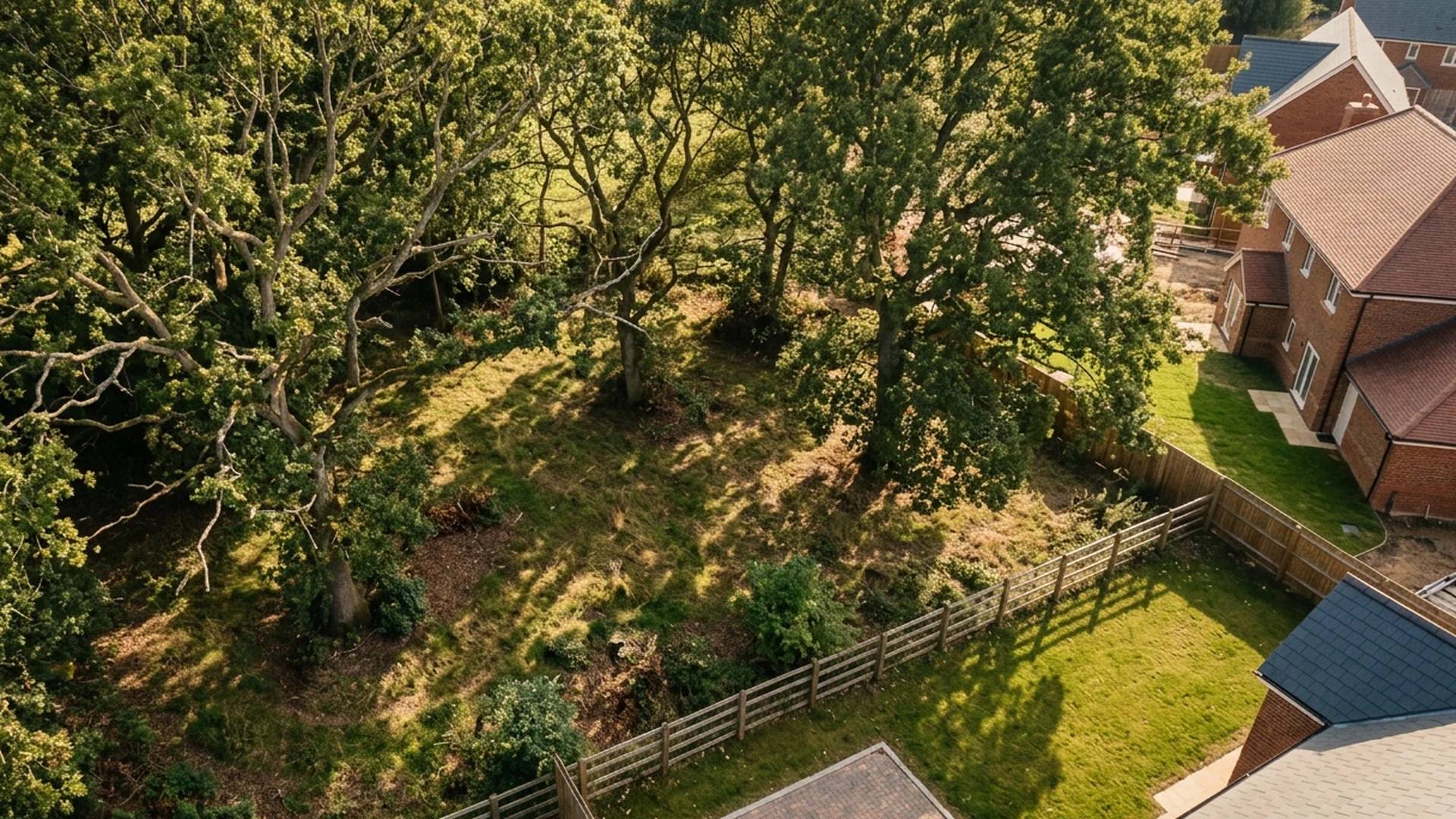
If your development site has the potential to affect wildlife, habitats, or protected species, your planning authority will require ecological evidence before they'll consider your application. We handle it.
Overview
Getting Ecology Right Before It Becomes a Problem
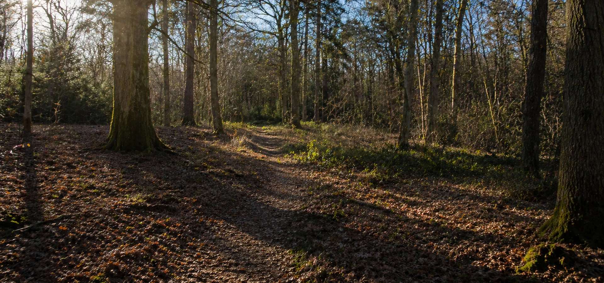
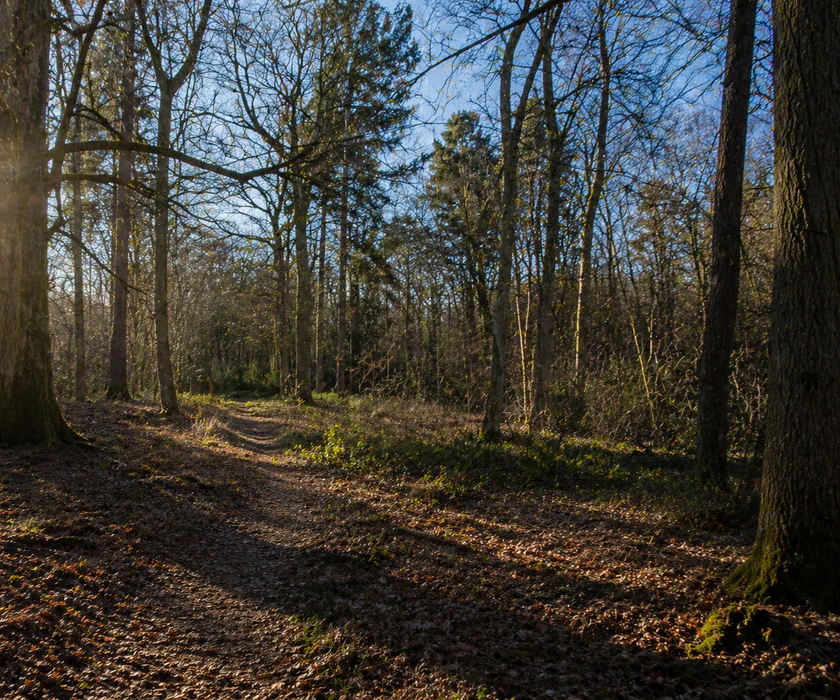
Ecological constraints discovered late in a planning project are expensive. A stop-work order, a mandatory redesign, or a missed survey window that pushes your programme back by a full season are all avoidable if the right surveys are commissioned at the right time.
We work with developers, planners, architects, and private landowners to identify what ecological surveys are needed, carry them out within the correct seasonal windows, and produce reports that planning officers accept. Our ecologists are qualified members of the Chartered Institute of Ecology and Environmental Management (CIEEM) and work to the standards statutory bodies require.
Whether you need a preliminary appraisal to understand what constraints exist, a protected species survey triggered by an initial assessment, or a biodiversity net gain plan required under the Environment Act 2021, we can help. Tell us about your site and we’ll advise on what’s needed and provide a fixed price.
Process
How it works
Get an accurate, fixed-price quote in minutes. Then it's simply book, survey, and report.
Create your quote
Tell us about your site and your project. We'll identify the surveys you need and produce a formal quotation on the spot.
Confirm your booking
Choose a date and we'll take it from there. You'll know who's coming, when, and what they need from you.
Get your report
Your report lands within a few working days of the survey. It covers everything your planning authority needs.
Ecology survey types
A clear menu of ecology surveys we can scope and sequence as one coordinated workstream.
Baseline & assessment
Protected species surveys
FAQ
Ecology Surveys — Your Questions Answered
When an ecology survey is required
Most planning applications involving land where wildlife or habitats could be affected require ecological evidence before a local planning authority will proceed. This applies to a much wider range of projects than many applicants expect.
Obvious triggers include development on greenfield or brownfield land, demolition of buildings with potential for bat or bird roosting, works affecting hedgerows, watercourses, or woodland, and any site near a designated nature conservation area. Less obvious triggers include loft conversions and extensions where bats may be present, works near ponds where great crested newts could occur, and sites with features suggesting badger activity or dormouse habitat.
The earlier ecology is assessed, the better. Identifying constraints at the outset means your design can respond to them from the start, avoiding the delays and costs that come from late-stage discoveries.
What an ecology survey involves
Every ecology survey begins with a desk study: a review of existing data sources including habitat maps, species records, and designations affecting the site and the area around it. This establishes the baseline picture and identifies what further investigation is likely to be needed.
The field survey then puts boots on the ground to verify the desk study findings, map habitat types, identify features of ecological interest, and look for evidence of protected species. The level of effort is proportionate to the site and its context: a small residential plot requires a different scope of survey than a large commercial or housing development.
The report produced from the survey translates the field data into actionable guidance for your planning application, setting out what constraints exist, what mitigation is required, and what the planning authority needs to see.
The three categories of ecological survey
Ecology surveys broadly fall into three categories, each addressing a different part of the ecological picture.
Preliminary and impact surveys establish what habitats and species are present and what effect the development would have on them. These include the Preliminary Ecological Appraisal (PEA), Ecological Walkover Survey, Ecological Impact Assessment (EcIA), Biodiversity Net Gain Assessment, Habitat Regulations Assessment (HRA), and BREEAM assessments. They are typically commissioned early in the planning process to inform design and support the application.
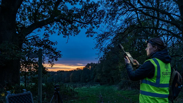
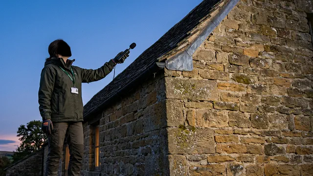
Protected species surveys are triggered when a preliminary survey identifies the potential presence of a protected species. Each species requires a specific survey methodology carried out within defined seasonal windows. The surveys we carry out include assessments for bats, great crested newts, badgers, dormice, otters, water voles, barn owls, breeding and wintering birds, reptiles, red squirrels, and invertebrates including white-clawed crayfish.
Invasive species surveys and management plans address non-native plants that carry legal implications for developers. Japanese knotweed, giant hogweed, Himalayan balsam, and injurious weeds all require documented assessment and, where present, a management plan before development can proceed.
Why survey timing matters
Ecology surveys cannot always be booked and completed on demand. Many protected species can only be surveyed effectively during specific windows in the year, and missing those windows means waiting until the following season.
Bat emergence surveys are limited to the period between April and October, with May to September being the optimal window. Great crested newt surveys must be carried out between mid-March and mid-June. Dormouse surveys run from April to November. Breeding bird surveys are restricted to the core nesting season between March and August.
Planning your ecology surveys around these windows, rather than discovering them after your programme is set, is one of the most effective ways to protect your timeline. We can advise on the relevant windows for your site and help you sequence the surveys correctly.
How biodiversity net gain affects your application
Under the Environment Act 2021, most planning applications in England are now required to deliver a measurable biodiversity net gain of at least ten per cent. This means that the post-development biodiversity value of the site must exceed the pre-development value by that margin, calculated using the statutory biodiversity metric.
To demonstrate compliance, you need a baseline biodiversity assessment of the site before development, a prediction of the post-development value based on your proposals, and a biodiversity net gain plan setting out how the required uplift will be achieved and maintained for at least thirty years.
We carry out all three stages and produce the documentation your planning authority needs. Where the required uplift cannot be achieved on site, we can advise on off-site habitat creation and statutory biodiversity credits.
The standards our surveys are produced to
For an ecological survey to be accepted by a planning authority, it must meet the professional standards set by the relevant statutory and regulatory bodies.
Our ecologists are qualified members of CIEEM and operate under its code of professional conduct. Surveys follow the standard methodologies published by CIEEM and the relevant species-specific guidance from Natural England, NatureScot, and Natural Resources Wales. Where a European Protected Species Licence is required to lawfully carry out development affecting protected species or their habitats, we can support the licence application to Natural England or the devolved equivalent.
Reports are structured to meet the requirements of the National Planning Policy Framework, the Environment Act 2021, the Wildlife and Countryside Act 1981, the Conservation of Habitats and Species Regulations 2017, and any relevant local planning policy.
How long an ecology survey report remains valid
Most local planning authorities will accept an ecology survey report for up to three years from the date of the survey, provided there have been no significant changes to the site or its surroundings in the intervening period. Where a site has been left undisturbed, the report will generally remain usable for the full three years.
If conditions on or near the site have changed — for example, if habitats have been disturbed, vegetation has been removed, or new development has occurred nearby — the report may need to be updated or supplemented with a more recent assessment. We can advise on whether an existing report is still valid for your purposes.
What it costs and how to get started
Ecology survey pricing starts from £399 and varies depending on the type of survey, the size of the site, and the scope of work required. Where multiple surveys are needed, we programme them efficiently to minimise the number of site visits and keep costs proportionate.
To get a quote, provide us with your site address, a brief description of the proposed development, and any correspondence from your planning authority. We’ll advise on what surveys are needed, confirm whether any are time-sensitive, and provide a fixed price. No hidden costs, no open-ended scope.
Guides & insights
Ecology news & guides
Seasonal windows, baseline surveys and planning timelines — written for developers and agents.

Deliverables
Ecology outputs for validation and design
Baseline mapping, UKHab typing and narrative structured so screening, BNG and any species ladder stay coherent as the scheme develops.
Get started today
Let's move your site forward.
Fixed pricing in 4 minutes. No commitment until you book.