GCN
Great Crested Newt HSI Assessment
If there is a pond within or near your site, your planning authority will almost certainly ask whether great crested newts are present. The HSI is the standard method for establishing the risk and determining whether further survey is proportionate.
Overview
The Proportionate Starting Point for Newt Risk
Great crested newts are a European Protected Species. It is a criminal offence to harm them or disturb their habitat without a licence. The development programme is not exempt: a planning authority cannot lawfully grant permission where a protected species issue has not been adequately addressed, and that process starts with the HSI.
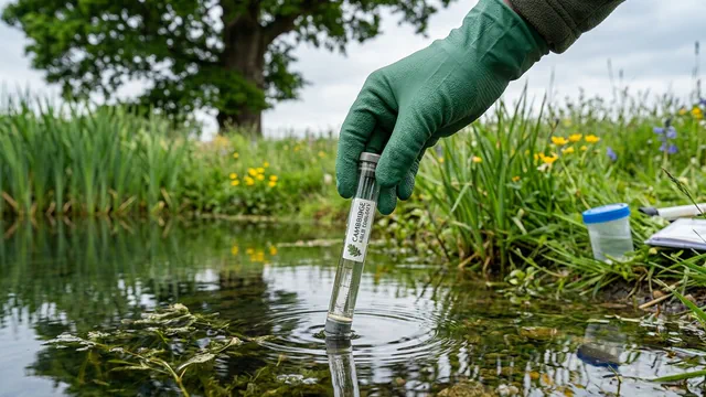
The assessment combines a desk study with a scored field visit to every pond within influencing distance of the site. The result is a habitat suitability value for each pond, a clear recommendation on whether further survey is needed, and if so, which method and how many visits are proportionate. Most assessments are completed within five working days of the field visit, with no dependency on survey season.
FAQ
Great Crested Newt HSI Assessments — Your Questions Answered
What the HSI assessment involves
The assessment has two components.
Desk study. We search national and local biological record centres for great crested newt records within a 2 km radius of your site. We map all ponds within 500 m using Ordnance Survey data, aerial photography, and LiDAR, and assess the landscape context: connectivity, land use, and dispersal routes between waterbodies.
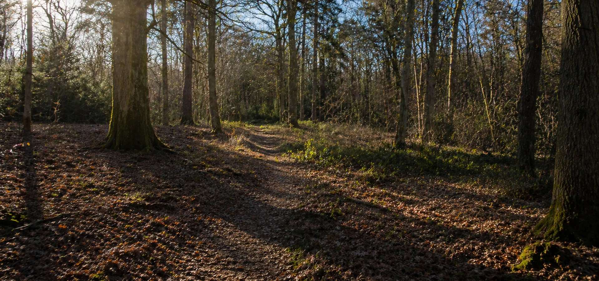
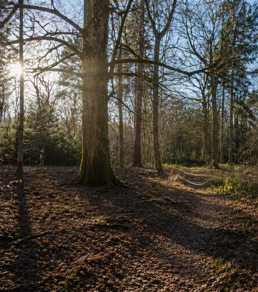
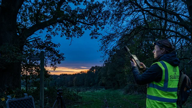
Field survey. One of our ecologists visits each pond and scores ten variables covering the pond itself and the surrounding terrestrial habitat. The pond parameters include area, permanence, the amount of canopy shading, water quality assessed through aquatic plant diversity, the presence of fish, and the density of wildfowl. The terrestrial assessment covers the extent and quality of rough grassland, scrub, hedgerows, and other features that provide foraging, refugia, and overwintering habitat within 500 m.
The two sets of scores are combined to produce a single HSI value for each pond assessed.
What your HSI score means and what happens next
Each pond receives a score between 0.00 and 1.00, falling into one of four classes:
| HSI score | Quality class |
|---|---|
| Below 0.50 | Poor |
| 0.50 to 0.67 | Moderate |
| 0.68 to 0.84 | Good |
| 0.85 to 1.00 | Excellent |
A poor score indicates that any great crested newt population is likely to be very small or absent. A planning authority will generally accept that no further survey is required.
A moderate to excellent score means the pond has real potential. We recommend the appropriate next step: either eDNA sampling, a water sample tested for genetic material shed by newts and available from mid-April to the end of June, or a traditional four-visit survey using torching, egg searches, bottle trapping, and artificial refugia. We specify the method and number of visits proportionate to your score and the scale of the proposed impact, not more than is necessary.
District Level Licensing
If your site falls within a Natural England District Level Licensing (DLL) area, the HSI is a formal requirement before the scheme can be assessed for a licence. DLL is a faster, cheaper route to a great crested newt development licence than the traditional individual-site approach, and the HSI score is the key variable that determines your contribution.
We handle the full DLL process from initial assessment through to licence issue.
What you receive
The assessment produces a complete set of outputs structured to satisfy Natural England, your planning authority, and any DLL assessment:
- A records search report with mapped great crested newt records within the study area
- A completed HSI pro forma for every pond assessed, with all scored variables and methodology documented
- A site plan showing pond locations, habitat classification, and connectivity
- A clear recommendation on whether further survey is needed, which method is appropriate, how many visits are required, and when the survey window opens
- A report ready for submission with your planning application
What it costs and how to get started
HSI assessment pricing depends on the number of ponds to be surveyed and the location of the site. Ponds within the development boundary and adjacent boundary hedgerows are assessed as part of the same commission.
To get a quote, provide us with your site address and an indication of the number and approximate location of ponds within or near the site. We will confirm scope and provide a fixed price. Most assessments are completed within five working days of the field visit.
Deliverables
GCN risk scoped before you commit to pond works
Habitat Suitability Index and field context combined to show whether further newt survey is proportionate — or whether the file can close early.
Guides & insights
Ecology news & guides
Seasonal windows, baseline surveys and planning timelines — written for developers and agents.
More surveys
Looking for a different ecology survey?
Compare habitat baselines, species follow-ons and BNG-ready mapping from one coordinated ecology overview.