Surveys from £349
BS5837 Tree Survey & Tree Constraints Plan (TCP)
Your authority needs a BS5837 survey — we deliver survey, report and constraints map. Fixed from £349.
Overview
What a BS5837 survey does for your project
Planning applications fail when tree constraints are identified too late. A BS5837 survey gets ahead of that problem by assessing every tree on and around your site, calculating Root Protection Areas, and assigning each tree a category that determines what can and can’t happen near it.
You receive a full arboricultural report and a Tree Constraints Plan — a scaled drawing your architect can overlay directly onto site plans to see exactly where the developable area begins and ends. That clarity prevents costly redesigns and gives your planning officer what they need to proceed.
We turn around surveys quickly, charge a fixed price from £349, and work to British Standard across every report we issue.
FAQ
BS5837 tree survey — your questions answered
Why planning authorities ask for a BS5837 survey
Trees aren’t just a landscaping consideration — they carry legal weight. Many are protected by Tree Preservation Orders or fall under conservation area legislation, and disturbing them without proper assessment can result in enforcement action, fines, or a refused application.
The BS5837 standard exists to give planning authorities a consistent framework for evaluating the relationship between proposed development and nearby trees. Your local council’s tree officer will review the results and make a recommendation to your case officer. Without a compliant survey, that recommendation will almost certainly be to refuse.
Commissioning a BS5837 survey early removes the ambiguity and gives your project a clear, evidenced path forward.
What the surveyor assesses on site
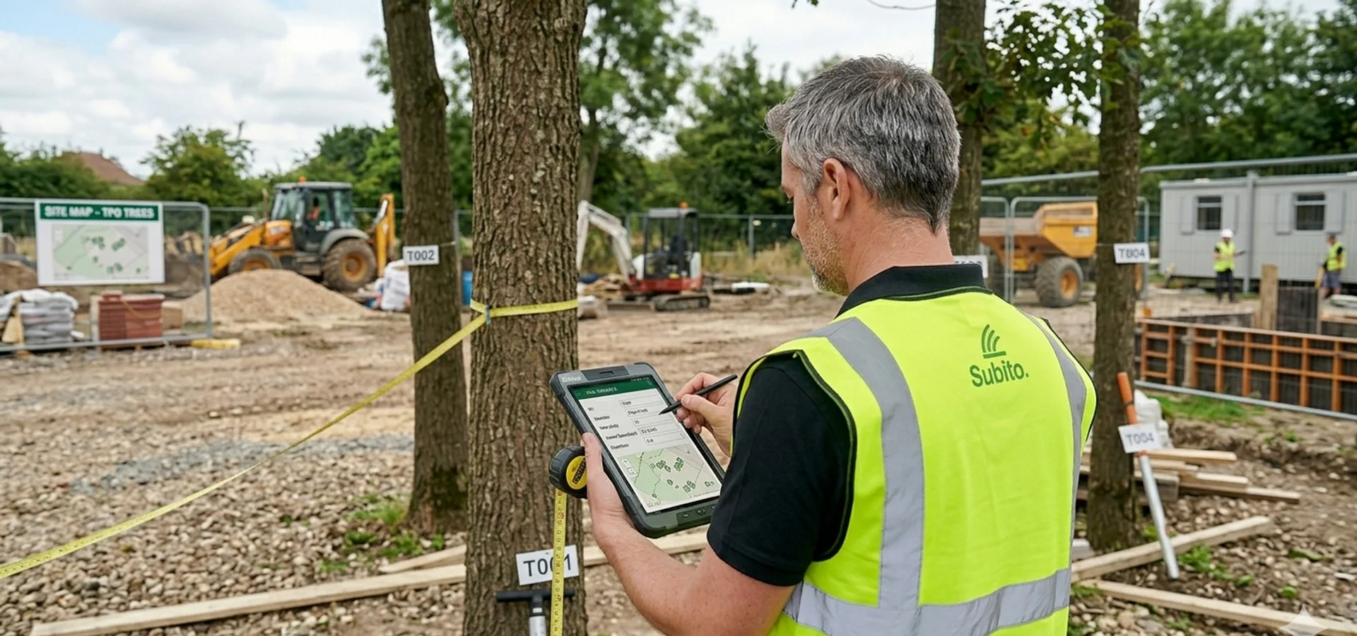
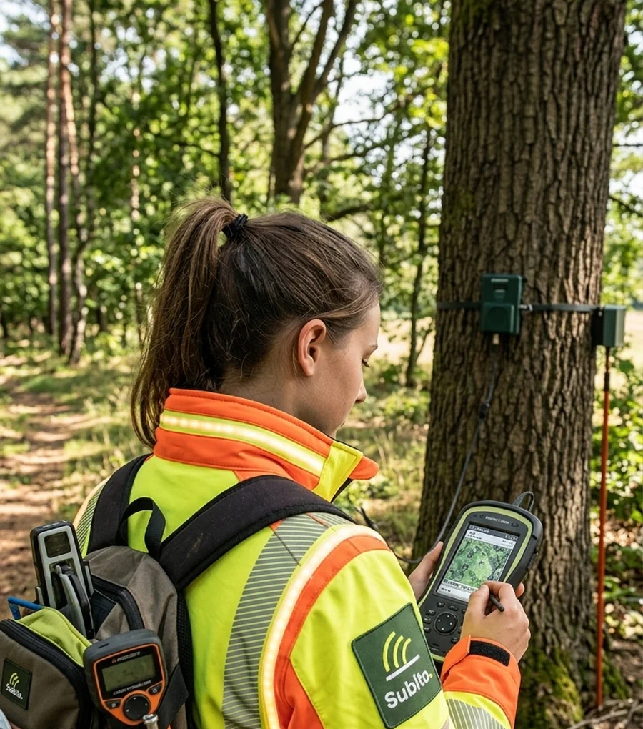
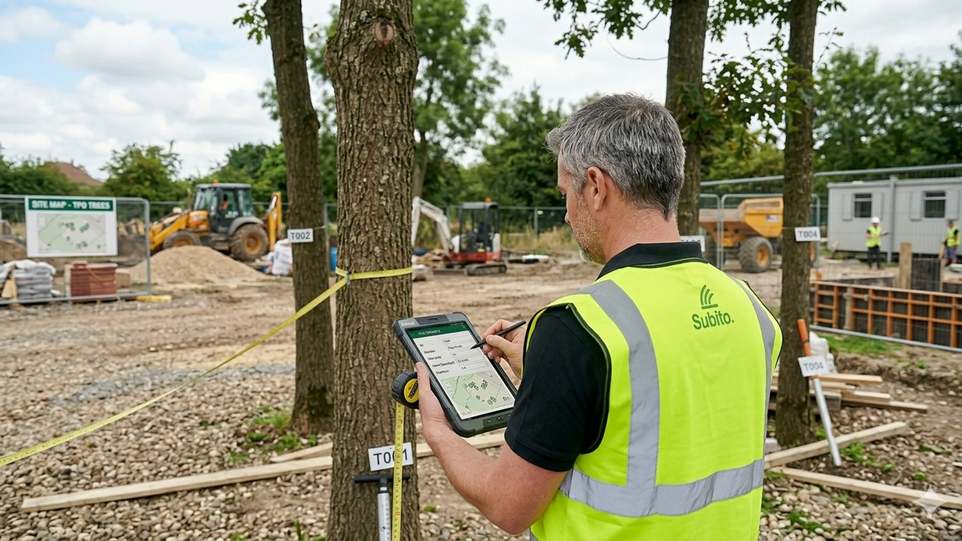
An arboriculturalist visits your site and records detailed data on every tree within influence of the proposed works. Each tree is measured, examined above and below ground, and logged with its species, size, canopy spread, structural condition, and estimated remaining contribution.
Spatial data is captured using GPS equipment and plotted accurately against an ordnance survey or topographical base map. This means the output isn’t just a written report — it’s a precise record that places every tree in context with your development boundary.
The whole process typically takes between one and five days depending on site size and tree numbers. You don’t need to be present.
How trees are categorised — and what each category means for your build
Every tree assessed under BS5837 is assigned to one of four categories. That category determines how much protection applies and how your architect must design around it.
Category A trees are high-quality specimens with significant amenity, ecological or historic value, and a remaining contribution of at least 40 years. Planning authorities will rarely permit any works within their Root Protection Area.
Category B trees are good quality but carry less significance than A. They have a remaining contribution of at least 30 years, and while retention is expected, building nearby is possible through careful foundation design — piled or cantilevered structures, for example.
Category C trees are lower quality with at least ten years of remaining contribution. Removal is generally acceptable where development demands it, provided compensatory planting is agreed as a planning condition.
Category U trees are dead, dying, or pose a safety risk. Removal is required regardless of development plans and is treated as routine arboricultural management.
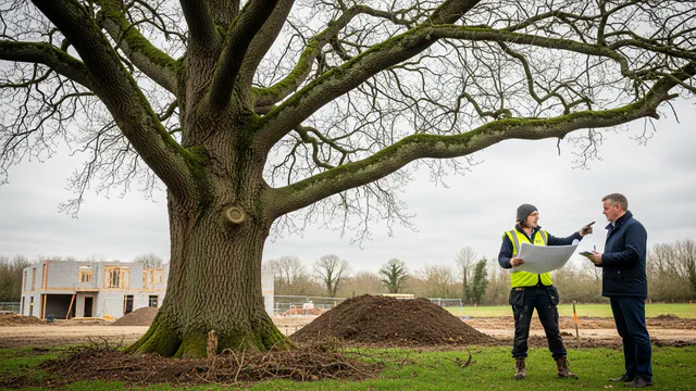
Knowing which category each tree falls into before your architect finalises drawings prevents wasted design work and keeps your application on track.
Root protection areas — why the ground matters as much as the canopy
Protecting a tree during construction isn’t only about what happens above ground. Root systems extend well beyond the visible canopy, and compaction, excavation, or changes to drainage can cause serious long-term harm — even where the tree looks undisturbed.
A Root Protection Area (RPA) is a calculated zone around each tree trunk that defines the minimum ground area that must remain undisturbed. It’s derived from the stem diameter measured at 1.5 metres above ground level, multiplied by a standard factor. A tree with a 0.5-metre diameter stem, for instance, requires protection extending six metres from its centre.
Your arboricultural report will specify the RPA for every tree on site. Your architect uses this data to establish the true developable envelope — the area where construction can safely proceed without triggering a refusal or enforcement notice.
What you receive at the end of the process
The survey produces two primary outputs: an arboricultural report and a Tree Constraints Plan (TCP).
The report documents the condition and category of every assessed tree, sets out which trees should be retained, which can be removed, and what protection measures are required during construction. Where the planning authority requires additional detail, the report can incorporate an Arboricultural Impact Assessment (AIA), an Arboricultural Method Statement (AMS), or a Tree Protection Plan (TPP).
The Tree Constraints Plan is a scaled drawing supplied in AutoCAD and PDF format. Your design team overlays it against existing site drawings to see immediately where trees sit, what their protection zones require, and how the development footprint needs to respond.
Both documents are produced to full British Standard compliance and are accepted by local planning authorities across the UK.
Pricing and what affects your quote
BS5837 surveys are priced from £349. The final figure depends on the number of trees to be assessed, the size of the site, and its location relative to available surveyors.
There are no hidden fees. We price on the basis of what your specific site actually requires — so a small garden with a handful of trees won’t be charged as if it were a commercial development site. Request a quote with your site address and we’ll give you a fixed price before anything is booked.
Deliverables
Validation-ready tree evidence for your submission
British Standard tree survey, categories and constraints mapping — structured so your architect and tree officer can work from the same evidence pack.
Guides & insights
Guides & insights
Practical explainers on BS5837, constraints plans and what planning authorities expect.

More surveys
Looking for a different tree survey?
Browse every survey type and deliverable — constraints plans, impact assessment, protection plans and more — on our tree surveys overview.