Surveys from £349
Tree Constraints Plan (TCP)
A Tree Constraints Plan maps every tree on your site and the space it needs, giving your architect a clear boundary to design within and your planning authority the evidence they need to proceed.
Overview
What a Tree Constraints Plan Does for Your Project
Before your architect can finalise a layout, they need to know exactly where the trees are and how much space each one requires. A Tree Constraints Plan provides that information in a format that is precise, scaled, and immediately usable.
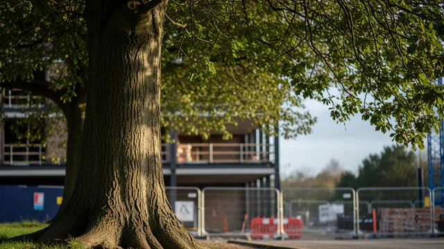
Every tree on and around your site is plotted onto a base map, with Root Protection Areas and canopy spreads marked clearly. Your design team overlays this drawing onto their plans to identify the true developable area and avoid costly conflicts with protected trees later in the process.
The TCP is also what your council’s tree officer reviews when assessing your application. A clear, compliant drawing removes uncertainty from that review and keeps your application moving.
FAQ
Tree Constraints Plans — Your Questions Answered
What a Tree Constraints Plan actually shows
A TCP is a scaled drawing that maps every tree relevant to your development, both on site and within influencing distance of the proposed works. For each tree, it shows the canopy spread above ground and the Root Protection Area below, giving a complete picture of the space that must be respected during design and construction.
The drawing is produced in AutoCAD and supplied as a PDF, so your architect or design team can work with it directly. Overlaid against existing site plans, it makes immediately visible where the developable footprint begins and ends, and where the design needs to respond to tree constraints.
When you need a TCP
A Tree Constraints Plan is required as part of the BS5837 process whenever trees are present on or adjacent to a development site and could be affected by the proposed works. In most cases it is produced alongside the BS5837 tree survey report, using the data collected during the site assessment.
Your local planning authority will expect to see a TCP submitted with your planning application. Without it, your application is likely to be held up or refused at validation stage, before it even reaches the tree officer for review.
If you have already had a BS5837 survey carried out by another consultant and simply need the TCP drawing produced, we can work from the existing survey data. Get in touch and we’ll advise on what’s needed.
How the drawing is produced
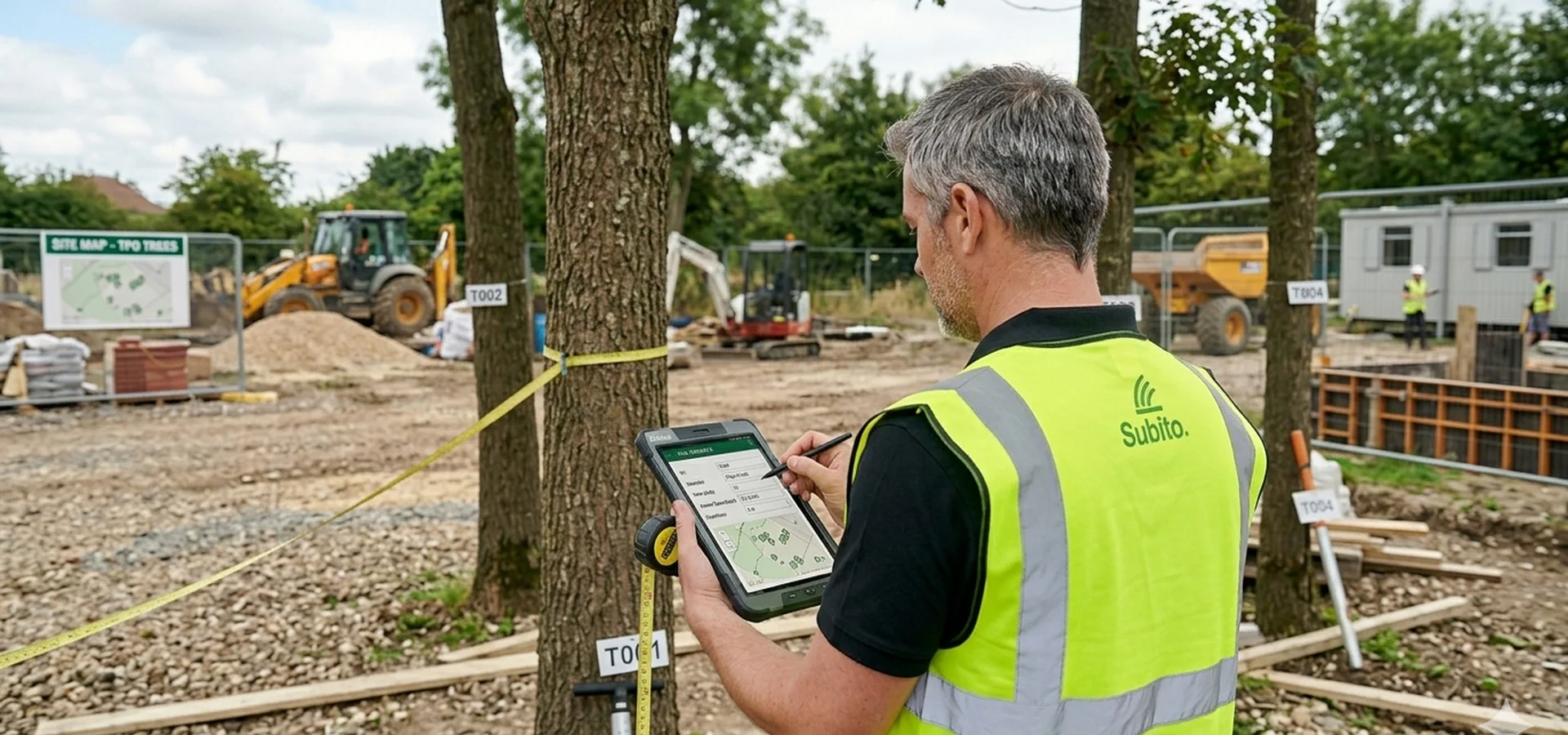
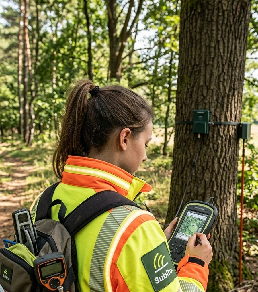
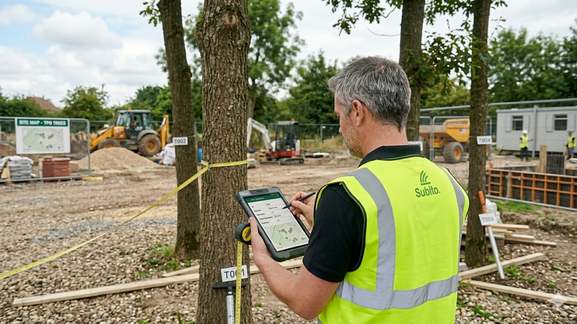
During the BS5837 site survey, each tree is recorded using GPS equipment and logged with its exact position, canopy measurements, stem diameter, and Root Protection Area calculation. That spatial data is then plotted accurately onto an ordnance survey or topographical base map using CAD software.
The result is a drawing that is both precise and immediately legible to planning officers and design teams. Every tree is referenced back to the accompanying survey report, so the council can cross-check categories, conditions, and recommended outcomes without ambiguity.
How it helps your architect design with confidence
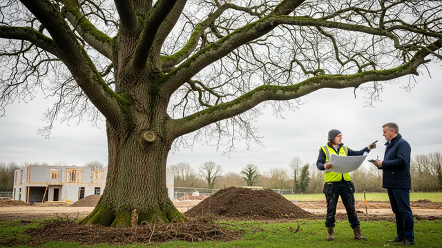
One of the most common causes of delay in tree-affected planning applications is a design that has not accounted for Root Protection Areas. When a layout is drawn up without knowing where the constraints sit, the conflict only becomes apparent once the BS5837 report lands, forcing a redesign before the application can be submitted.
A TCP in your architect’s hands from the start prevents that. The developable area is defined early, the layout is shaped around the constraints rather than revised to accommodate them, and the application goes in with a design that the tree officer can see has been properly considered.
What it costs and how to get started
Where a TCP is produced as part of a BS5837 tree survey, it is included in the survey price, which starts from £349. If you need a standalone TCP drawing from existing survey data, request a quote with your site details and we’ll confirm the cost quickly.
There are no hidden extras. Every quote is fixed. To get started, provide us with your site address and a brief description of your project and we’ll confirm what’s needed and get a price back to you.
Deliverables
Constraints mapping that keeps design inside the lines
A TCP turns BS5837 categories into a single developable boundary your masterplan, highways and drainage disciplines can design to — before foundations are fixed.
Guides & insights
Guides & insights
Practical explainers on BS5837, constraints plans and what planning authorities expect.

More surveys
Looking for a different tree survey?
Browse every survey type and deliverable — constraints plans, impact assessment, protection plans and more — on our tree surveys overview.